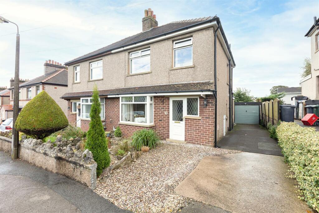
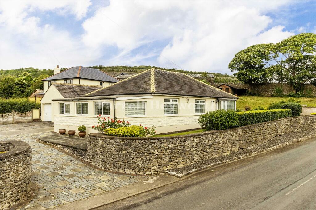
Property Information Report

Warton Grange, Sand Lane
Warton, Carnforth, LA5 9NN
Last Sold - Nov, 2020

Key Facts
About Us
Our Story
Lancastrian Estates is an established, family run estate and letting agent who help people move across Lancashire. Set up in 2005 by David Robinson, Lancastrian Estates traded as Cumbrian Properties until the name changed in 2014. However, the Robinsons family roots go back much further than that and the business is built on over 100 years of Lancashire property experience. Today’s generation of the family are often invited out to market houses, flats and bungalows in Lancaster, Morecambe, Preston and South Ribble that were built by previous generations of the Robinson family. In fact, a third of Morecambe’s homes are likely to have been built by a Robinson!
Proud to carry on the Robinsons property legacy under Lancastrian Estates, we have exciting plans for growth going forward to help even more people move across Lancashire.
Generate a full report on your own property including an instant estimated valuation.
Title Plan
 Contains OS data © Crown copyright 2024
Title Information
Details provided by the Land Registry
- Title Number
- LA946121
- Plot Size
- 0.03 acres (138 sq metres)
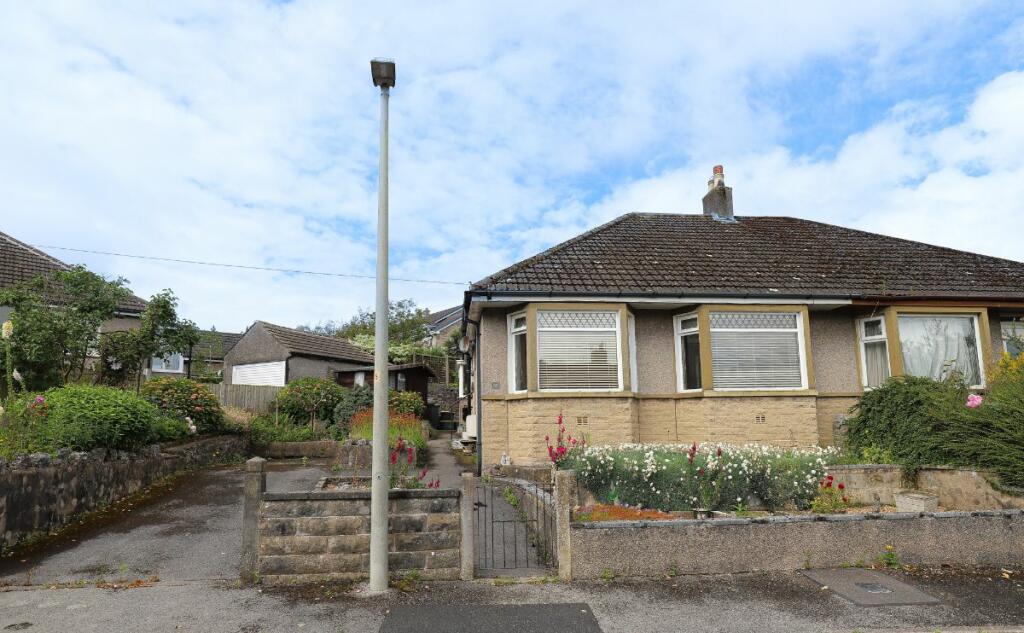
Street View
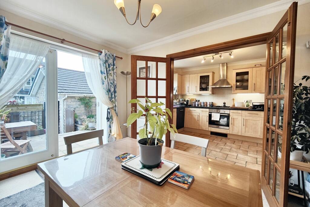
Videos & Virtual Tours
House Prices in Lancaster
Last 12 months
-
Average Price Change
£15,404
Increased by 8%
-
Semi-Detached Price Change
£17,603
Increased by 8%
Average House Prices
Last 12 months for all property types.
Since Last Sale - 20th November 2020
-
Average Price Change
£44,855
Increased by 27%
-
Semi-Detached Price Change
£49,092
Increased by 28%
Average House Prices
Since last sale in 2020 for all property types
EPC

EPC Information
Details taken from the EPC register
- Date
- 2018-09-12
- Valid Until
- 2028-09-11
- Energy Efficiency - Current
- 63
- Energy Efficiency - Potential
- 84
- Environmental Impact - Current
- 58
- Environmental Impact - Potential
- 81
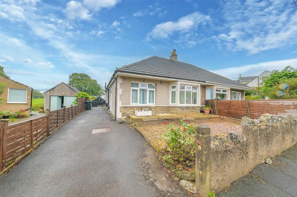
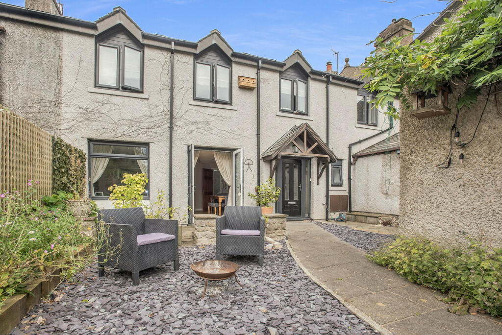
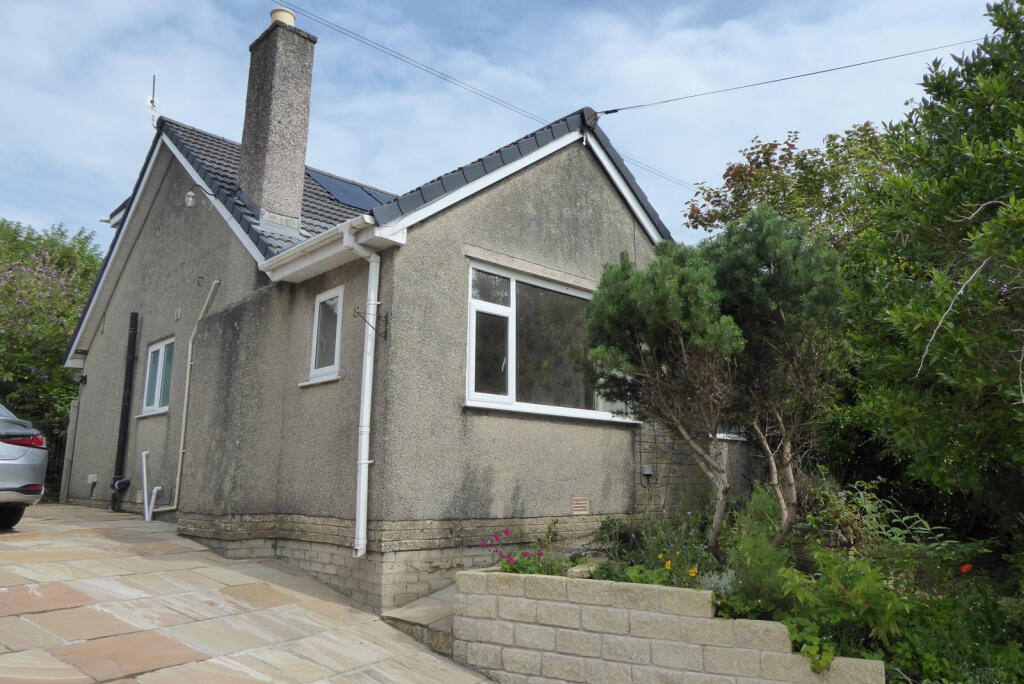
Properties For Sale in the Area
Sand Lane
67 metres away
Westbourne Road
79 metres away
Sand Lane
83 metres away
Westbourne Road
99 metres away
Sand Lane
0.10 km away
Farleton Close
0.20 km away
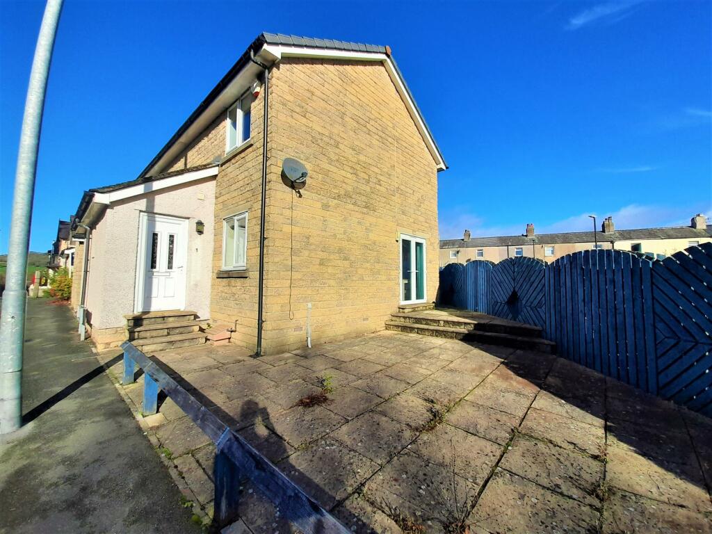
Properties To Let in the Area
Church Hill Avenue
0.51 km away
Eldrams Meadow Warton Road
0.67 km away
Schools
| Name | Type | Postcode | Distance | Rating |
|---|---|---|---|---|
| Warton Archbishop Hutton's VC Primary School | Primary | LA5 9QU | 0.87 km | Good |
| Carnforth Christ Church, Church of England, Voluntary Aided Primary School | Primary | LA5 9LJ | 1.58 km | Good |
| Carnforth Community Primary School | Primary | LA5 9LQ | 1.64 km | Good |
| Our Lady of Lourdes Catholic Primary School, Carnforth | Nursery, Primary | LA5 9LS | 1.83 km | Good |
| Carnforth High School | Secondary | LA5 9LS | 1.97 km | Good |
Transport
Bus Stops & Stations
Details provided by Department for Transport
| Name | Distance |
|---|---|
| Town End, Mill Lane | 0.16 km |
| Mill Lane | 0.42 km |
| The Nib, Mill Lane | 0.60 km |
| Malt Shovel, Main Street | 0.63 km |
| Carlisle Terrace, Warton Road | 0.75 km |
Train Stations
Details provided by Department for Transport
| Name | Distance |
|---|---|
| Carnforth Rail Station | 1.34 km |
| Silverdale Rail Station | 3.65 km |
Nearest Motorway
Details provided by Department for Transport
| Name | Distance |
|---|---|
| A601(M) | 1.64 km |
Coverage
- Average Broadband Speed:
-
8mb Basic
-
1000mb Ultrafast
-
1000mb Overall
- Mobile Coverage:
-
EEGood
-
O2Good
-
ThreeOkay
-
VodafoneOkay

Recently Sold Properties in the Area
| Address | Property Type | Distance | Price | Completed |
|---|---|---|---|---|
|
2 Mill Lane Warton, Carnforth, LA5 9NW |
Detached | 0.14 km away | £300,000 | 9 months ago |
|
63 Sand Lane Warton, Carnforth, LA5 9NJ |
Semi-Detached | 0.30 km away | £260,000 | 6 months ago |
|
22 Church Hill Avenue Warton, Carnforth, LA5 9NU |
Semi-Detached | 0.60 km away | £202,000 | 9 months ago |
|
57 Main Street Warton, Carnforth, LA5 9NT |
Terraced | 0.63 km away | £352,500 | 9 months ago |
|
14 Grange View Warton, Carnforth, LA5 9HL |
Terraced | 0.63 km away | £150,000 | 11 months ago |
|
57a, Main Street Warton, Carnforth, LA5 9NT |
Semi-Detached | 0.65 km away | £200,000 | 10 months ago |
|
8 Jackson Terrace Carnforth, LA5 9HF |
Terraced | 0.66 km away | £132,000 | 10 months ago |
|
3 Eldrams Meadow, Warton Road Carnforth, LA5 9HW |
Terraced | 0.67 km away | £155,000 | 11 months ago |
|
4 Rupert Street Carnforth, LA5 9UU |
Semi-Detached | 0.72 km away | £155,000 | 11 months ago |
|
88 Main Street Warton, Carnforth, LA5 9PG |
Semi-Detached | 0.74 km away | £239,950 | 7 months ago |
Important Notice - This report is intended for general informational purposes only and should act only as a guide. The report is produced automatically on behalf of Lancastrian Estates - Lancastrian Estates - Lancaster by Street Insights, a product of Street Systems Ltd. Street Systems maintains and aggregates data from multiple public data sources and whilst every effort is made to keep information up to date and accurate, we make no representations or warranties of any kind about the accuracy, reliability or completeness of the information contained within this report for any purpose. Any reliance you place on the data contained within this report is strictly at your own risk. In no event will Lancastrian Estates - Lancastrian Estates - Lancaster or Street Systems Ltd be liable for any loss or damage including without limitation, indirect or consequential loss or damage, or any loss or damage whatsoever arising from loss of data or profits arising out of, or in connection with, the use of this report.
This report contains public sector information licensed under the Open Government License v3.0
Transaction data and HPI data is produced by HM Land Registry. Crown copyright and database rights 2024