Property Information Report

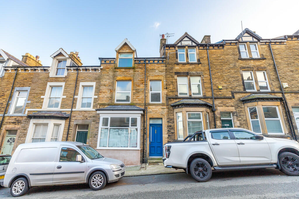
30a, Lancaster Road
Carnforth, LA5 9LD

Description
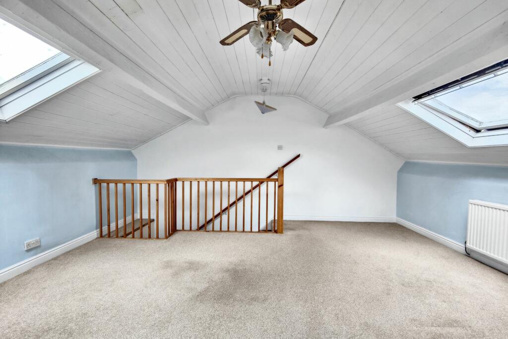
Charming 1st floor flat with spacious layout, picturesque views & bright kitchen diner. Enjoy the views from Bedroom & Lounge! Communal yard for outdoor living. No chain. Great access to shops & excellent transport links. Comfort & convenience in a tranquil Carnforth setting.
Key Facts
About Us
Our Story
Lancastrian Estates is an established, family run estate and letting agent who help people move across Lancashire. Set up in 2005 by David Robinson, Lancastrian Estates traded as Cumbrian Properties until the name changed in 2014. However, the Robinsons family roots go back much further than that and the business is built on over 100 years of Lancashire property experience. Today’s generation of the family are often invited out to market houses, flats and bungalows in Lancaster, Morecambe, Preston and South Ribble that were built by previous generations of the Robinson family. In fact, a third of Morecambe’s homes are likely to have been built by a Robinson!
Proud to carry on the Robinsons property legacy under Lancastrian Estates, we have exciting plans for growth going forward to help even more people move across Lancashire.
Generate a full report on your own property including an instant estimated valuation.
Title Plan
 Contains OS data © Crown copyright 2024
Title Information
Details provided by the Land Registry
- Title Number
- LA665346
- Plot Size
- 0.03 acres (108 sq metres)
Street View
Videos & Virtual Tours
House Prices in Lancaster
Last 12 months
-
Average Price Change
£15,404
Increased by 8%
-
Flats/Maisonettes Price Change
£6,871
Increased by 6%
Average House Prices
Last 12 months for all property types.
Since - May 2019
-
Average Price Change
£57,303
Increased by 37%
-
Flats/Maisonettes Price Change
£26,566
Increased by 27%
Average House Prices
Since 2019 for all property types
EPC

EPC Information
Details taken from the EPC register
- Date
- 2024-06-19
- Valid Until
- 2034-06-18
- Energy Efficiency - Current
- 57
- Energy Efficiency - Potential
- 73
- Environmental Impact - Current
- 50
- Environmental Impact - Potential
- 72
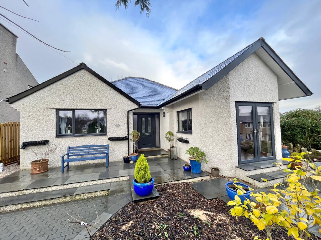
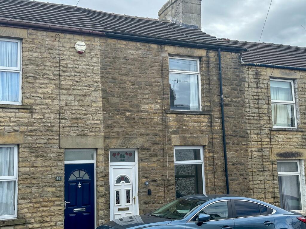
Properties For Sale in the Area
Lancaster Road
14 metres away
27
68 metres away
North Road
84 metres away
Market Street
88 metres away
3 Bed Bungalow with Loft Room... North Road
96 metres away
Market Street
0.12 km away
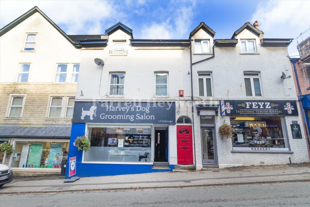
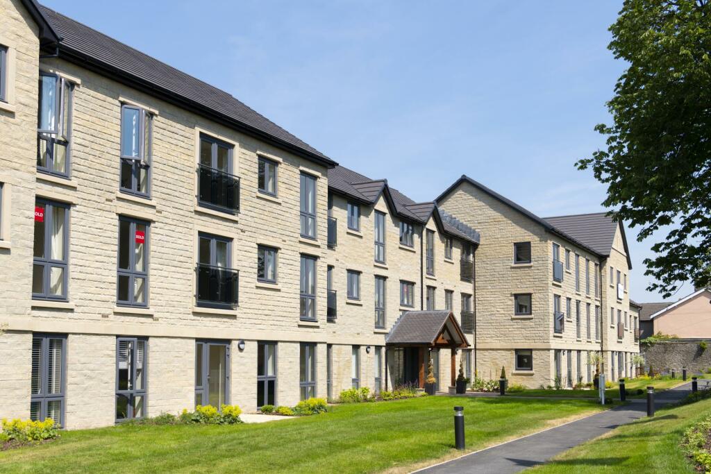
Properties To Let in the Area
Edward Street
38 metres away
Haws Hill
0.12 km away
North Road
0.24 km away

Towpath Walk
0.32 km away
152 Lancaster Road
0.62 km away
Eldrams Meadow Warton Road
0.88 km away
Schools
| Name | Type | Postcode | Distance | Rating |
|---|---|---|---|---|
| Carnforth Christ Church, Church of England, Voluntary Aided Primary School | Primary | LA5 9LJ | 92 metres | Good |
| Carnforth Community Primary School | Primary | LA5 9LQ | 0.14 km | Good |
| Our Lady of Lourdes Catholic Primary School, Carnforth | Nursery, Primary | LA5 9LS | 0.45 km | Good |
| Carnforth High School | Secondary | LA5 9LS | 0.56 km | Good |
| Warton Archbishop Hutton's VC Primary School | Primary | LA5 9QU | 1.87 km | Good |
Transport
Bus Stops & Stations
Details provided by Department for Transport
| Name | Distance |
|---|---|
| New Street | 85 metres |
| War Memorial, Market Street | 0.13 km |
| Railway Station, Haws Hill | 0.15 km |
| Market Street | 0.16 km |
| Police Station, Haws Hill | 0.19 km |
Train Stations
Details provided by Department for Transport
| Name | Distance |
|---|---|
| Carnforth Rail Station | 0.17 km |
Nearest Motorway
Details provided by Department for Transport
| Name | Distance |
|---|---|
| M6 | 1.18 km |
Coverage
- Average Broadband Speed:
-
18mb Basic
-
31mb Superfast
-
31mb Overall
- Mobile Coverage:
-
EEGood
-
O2Good
-
ThreePoor
-
VodafoneOkay

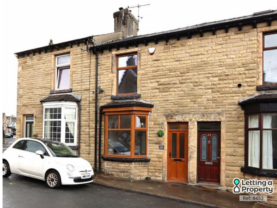
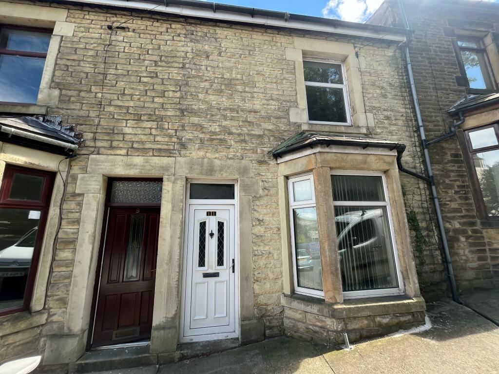
Recently Sold Properties in the Area
| Address | Property Type | Distance | Price | Completed |
|---|---|---|---|---|
|
24 Lancaster Road Carnforth, LA5 9LD |
Terraced | 13 metres away | £175,500 | 4 months ago |
|
19 Edward Street Carnforth, LA5 9DA |
Terraced | 38 metres away | £152,000 | 5 months ago |
|
1 Edward Street Carnforth, LA5 9DA |
Terraced | 63 metres away | £172,000 | 10 months ago |
|
16 New Street Carnforth, LA5 9BX |
Terraced | 89 metres away | £145,000 | 8 months ago |
|
Barclays Bank plc, 3 Market Street Carnforth, LA5 9JX |
Detached | 0.11 km away | £167,250 | 6 months ago |
|
23 Haws Hill Carnforth, LA5 9DD |
Terraced | 0.12 km away | £137,000 | 10 months ago |
|
22 Oxford Court, Lancaster Road Carnforth, LA5 9LE |
Flats/Maisonettes | 0.12 km away | £105,000 | 5 months ago |
|
3 Redmayne House, Ashtrees Way Carnforth, LA5 9BF |
Flats/Maisonettes | 0.13 km away | £125,000 | 9 months ago |
|
68 Lancaster Road Carnforth, LA5 9LE |
Other | 0.14 km away | £157,500 | 4 months ago |
|
2 Queens Court Carnforth, LA5 9FE |
Flats/Maisonettes | 0.14 km away | £140,000 | 4 months ago |
Important Notice - This report is intended for general informational purposes only and should act only as a guide. The report is produced automatically on behalf of Lancastrian Estates - Lancastrian Estates - Lancaster by Street Insights, a product of Street Systems Ltd. Street Systems maintains and aggregates data from multiple public data sources and whilst every effort is made to keep information up to date and accurate, we make no representations or warranties of any kind about the accuracy, reliability or completeness of the information contained within this report for any purpose. Any reliance you place on the data contained within this report is strictly at your own risk. In no event will Lancastrian Estates - Lancastrian Estates - Lancaster or Street Systems Ltd be liable for any loss or damage including without limitation, indirect or consequential loss or damage, or any loss or damage whatsoever arising from loss of data or profits arising out of, or in connection with, the use of this report.
This report contains public sector information licensed under the Open Government License v3.0
Transaction data and HPI data is produced by HM Land Registry. Crown copyright and database rights 2024