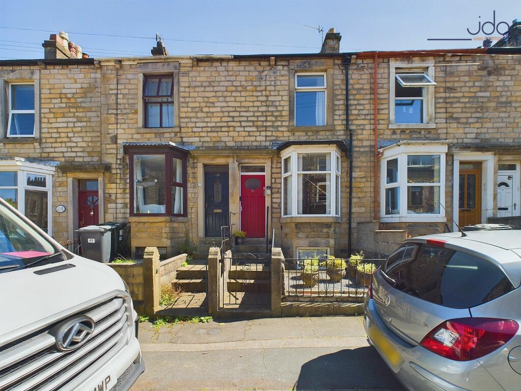
Property Information Report

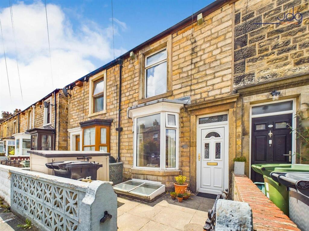
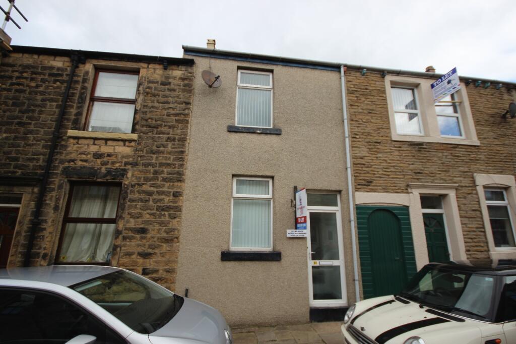
42 Rydal Road
Lancaster, LA1 3HA

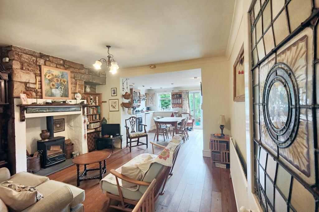
Description
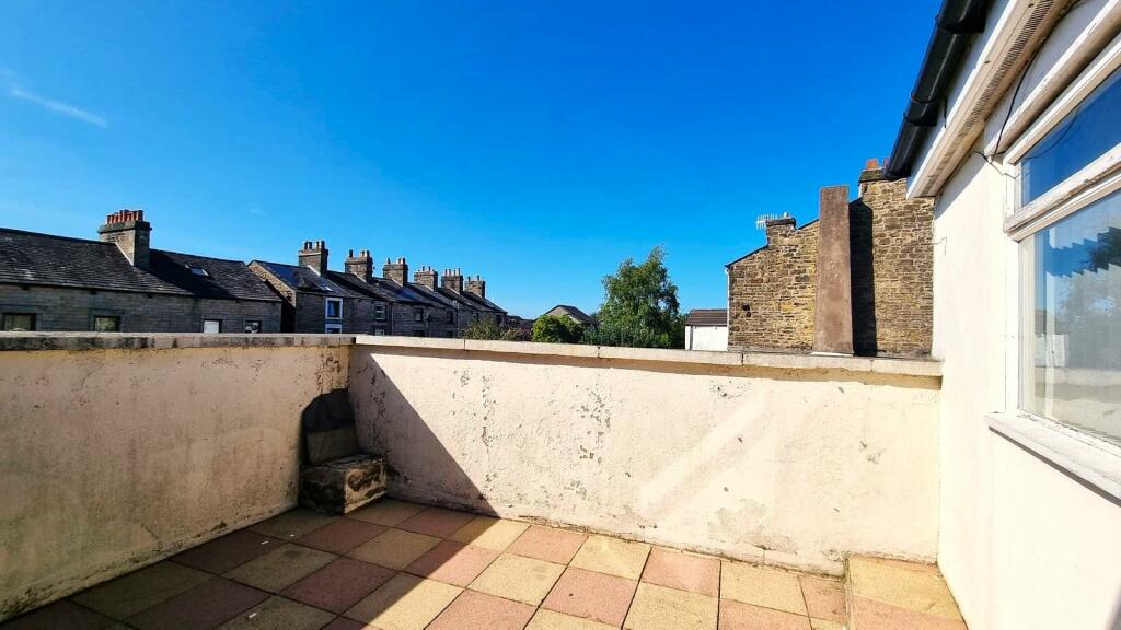
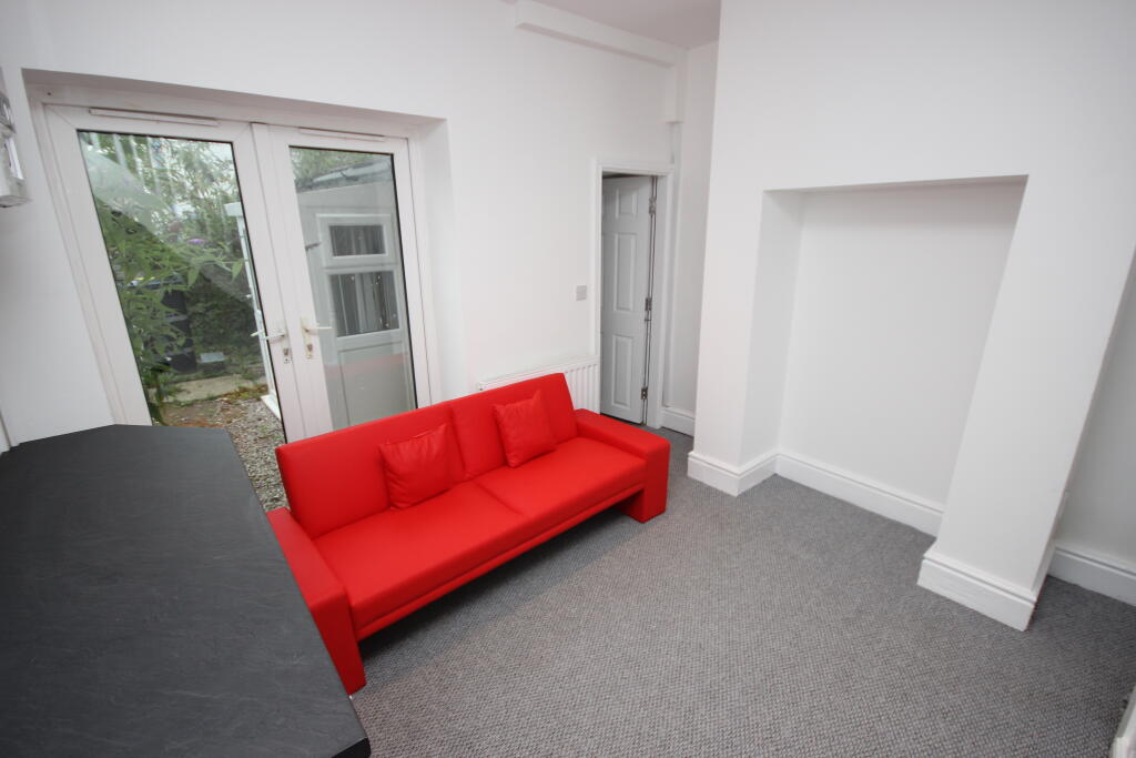
Character Home! 4-bed end of terrace in sought-after South Lancaster. Character features, open-plan layout, spacious living area, extended kitchen, 4 double bedrooms, well-appointed bathroom & shower room, private sunny garden, picturesque views...this house has it all! The very best of Lancaster living.
Key Facts
About Us
Our Story
Lancastrian Estates is an established, family run estate and letting agent who help people move across Lancashire. Set up in 2005 by David Robinson, Lancastrian Estates traded as Cumbrian Properties until the name changed in 2014. However, the Robinsons family roots go back much further than that and the business is built on over 100 years of Lancashire property experience. Today’s generation of the family are often invited out to market houses, flats and bungalows in Lancaster, Morecambe, Preston and South Ribble that were built by previous generations of the Robinson family. In fact, a third of Morecambe’s homes are likely to have been built by a Robinson!
Proud to carry on the Robinsons property legacy under Lancastrian Estates, we have exciting plans for growth going forward to help even more people move across Lancashire.
Generate a full report on your own property including an instant estimated valuation.
Title Plan
 Contains OS data © Crown copyright 2024
Title Information
Details provided by the Land Registry
- Title Number
- LA698897
- Plot Size
- 0.06 acres (224 sq metres)
Street View
Videos & Virtual Tours
House Prices in Lancaster
Last 12 months
-
Average Price Change
£16,111
Increased by 8%
-
Terraced Price Change
£15,135
Increased by 9%
Average House Prices
Last 12 months for all property types.
Since - June 2019
-
Average Price Change
£60,866
Increased by 39%
-
Terraced Price Change
£56,411
Increased by 42%
Average House Prices
Since 2019 for all property types
EPC

EPC Information
Details taken from the EPC register
- Date
- 2023-08-30
- Valid Until
- 2033-08-29
- Energy Efficiency - Current
- 61
- Energy Efficiency - Potential
- 82
- Environmental Impact - Current
- 53
- Environmental Impact - Potential
- 78
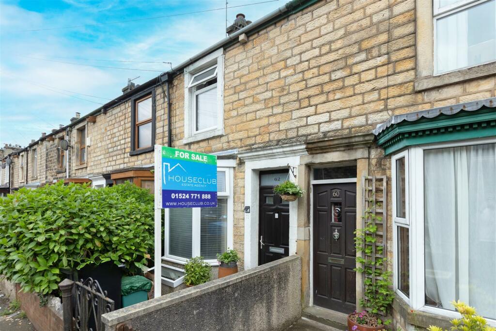
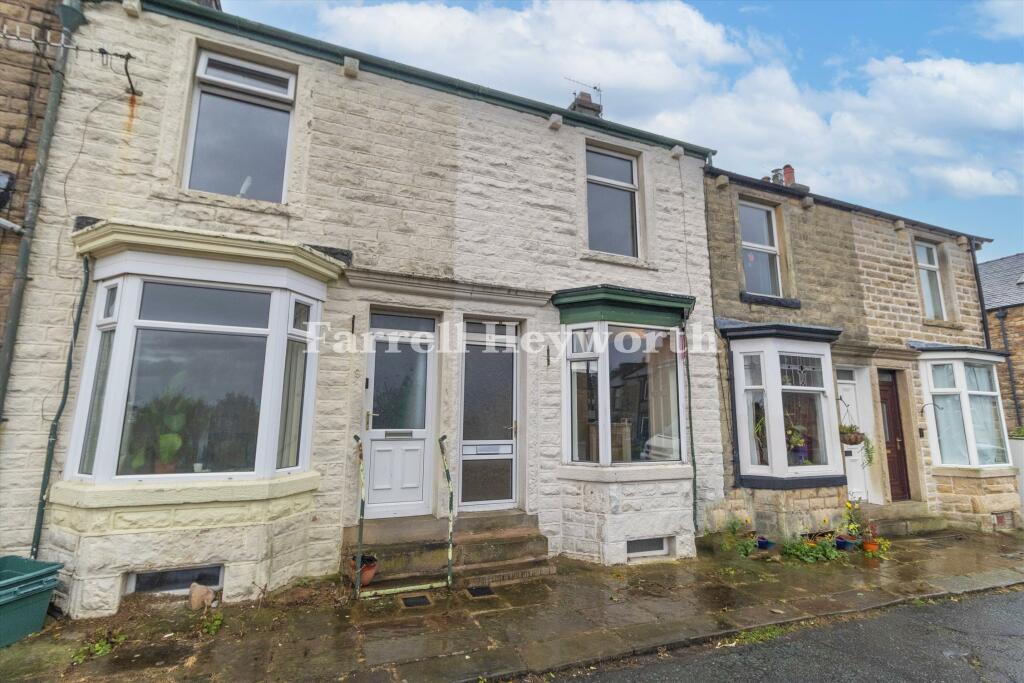
Properties For Sale in the Area
Rydal Road
4 metres away
Grasmere Road
81 metres away
Hartington Street
81 metres away
Park Road
82 metres away
Windermere Road
85 metres away
Grasmere Road
94 metres away
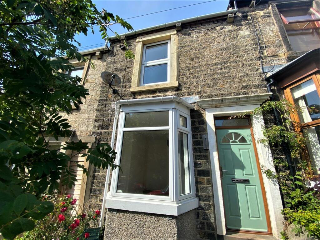
Properties To Let in the Area
Davidson Street
63 metres away
Park Road
79 metres away
Ullswater Road
0.15 km away
Greenfield Street
0.26 km away
Greenfield Street
0.26 km away

Greenfield Street
0.26 km away
Schools
| Name | Type | Postcode | Distance | Rating |
|---|---|---|---|---|
| Lancaster Royal Grammar School | Secondary, Post 16 | LA1 3EF | 0.19 km | Good |
| The Cathedral Catholic Primary School, Lancaster | Primary | LA1 3BT | 0.35 km | Good |
| Lancaster Christ Church Church of England Primary School | Primary | LA1 3ES | 0.36 km | Good |
| Castle View Primary | Primary | LA1 3LE | 0.57 km | Not rated |
| Castle View Primary School | Primary | LA1 3LE | 0.57 km | Not rated |
Transport
Bus Stops & Stations
Details provided by Department for Transport
| Name | Distance |
|---|---|
| Britannia Inn, Ullswater Road | 0.13 km |
| Windermere Road | 0.14 km |
| Britannia Inn, Ullswater Road | 0.14 km |
| Rose Tavern, Ullswater Road | 0.16 km |
| Royal Grammar School, Moor Gate | 0.17 km |
Train Stations
Details provided by Department for Transport
| Name | Distance |
|---|---|
| Lancaster Rail Station | 1.18 km |
| Bare Lane Rail Station | 4.17 km |
Nearest Motorway
Details provided by Department for Transport
| Name | Distance |
|---|---|
| M6 | 2.77 km |
Coverage
- Average Broadband Speed:
-
14mb Basic
-
47mb Superfast
-
9000mb Ultrafast
-
9000mb Overall
- Mobile Coverage:
-
EEGood
-
O2Good
-
ThreeOkay
-
VodafoneOkay

Recently Sold Properties in the Area
| Address | Property Type | Distance | Price | Completed |
|---|---|---|---|---|
|
78 Windermere Road Lancaster, LA1 3EZ |
Terraced | 70 metres away | £380,000 | 9 months ago |
|
79 Windermere Road Lancaster, LA1 3EZ |
Terraced | 88 metres away | £295,000 | 5 months ago |
|
32 Park Road Lancaster, LA1 3EJ |
Terraced | 94 metres away | £172,000 | 7 months ago |
|
95 Ullswater Road Lancaster, LA1 3PX |
Terraced | 0.12 km away | £145,000 | 11 months ago |
|
47 Windermere Road Lancaster, LA1 3EZ |
Terraced | 0.14 km away | £170,000 | 5 months ago |
|
126b, Ullswater Road Lancaster, LA1 3PX |
Semi-Detached | 0.15 km away | £175,000 | 2 months ago |
|
11 Dalton Road Lancaster, LA1 3EY |
Terraced | 0.16 km away | £261,500 | 10 months ago |
|
72 Ullswater Road Lancaster, LA1 3PS |
Semi-Detached | 0.16 km away | £205,000 | 3 months ago |
|
45 Windermere Road Lancaster, LA1 3EX |
Terraced | 0.17 km away | £261,500 | 10 months ago |
|
35 Grasmere Road Lancaster, LA1 3HE |
Terraced | 0.17 km away | £215,000 | 7 months ago |
Important Notice - This report is intended for general informational purposes only and should act only as a guide. The report is produced automatically on behalf of Lancastrian Estates - Lancastrian Estates - Lancaster by Street Insights, a product of Street Systems Ltd. Street Systems maintains and aggregates data from multiple public data sources and whilst every effort is made to keep information up to date and accurate, we make no representations or warranties of any kind about the accuracy, reliability or completeness of the information contained within this report for any purpose. Any reliance you place on the data contained within this report is strictly at your own risk. In no event will Lancastrian Estates - Lancastrian Estates - Lancaster or Street Systems Ltd be liable for any loss or damage including without limitation, indirect or consequential loss or damage, or any loss or damage whatsoever arising from loss of data or profits arising out of, or in connection with, the use of this report.
This report contains public sector information licensed under the Open Government License v3.0
Transaction data and HPI data is produced by HM Land Registry. Crown copyright and database rights 2024